Why Centralized Drone Data Makes Repeat Site Monitoring Practical
The problem with scattered site data
Anyone who captures aerial imagery for the same location more than once has felt the frustration. A first flight produces a set of raw images, a rough orthomosaic, maybe a point cloud. The second flight, weeks or months later, generates its own collection. Before long, those files live on different drives, in different folders, with different naming conventions. Comparing the two sets becomes a manual chore that eats time and introduces errors.
That frustration is exactly what hosted drone data addresses. Instead of treating each flight as a standalone project, an aerial data platform stores every capture in one place, processed, aligned, and ready to compare. The result is a workflow where repeat monitoring becomes a routine task rather than a research project.
What hosted drone data means in practice
Hosted drone data simply means that after a pilot processes raw imagery into deliverables such as orthomosaics or point clouds, those files are uploaded to a cloud-based system rather than kept only on a local computer. The platform handles storage, organizes the files by date and location, and presents them through a map viewer that anyone on the team can access with a browser.
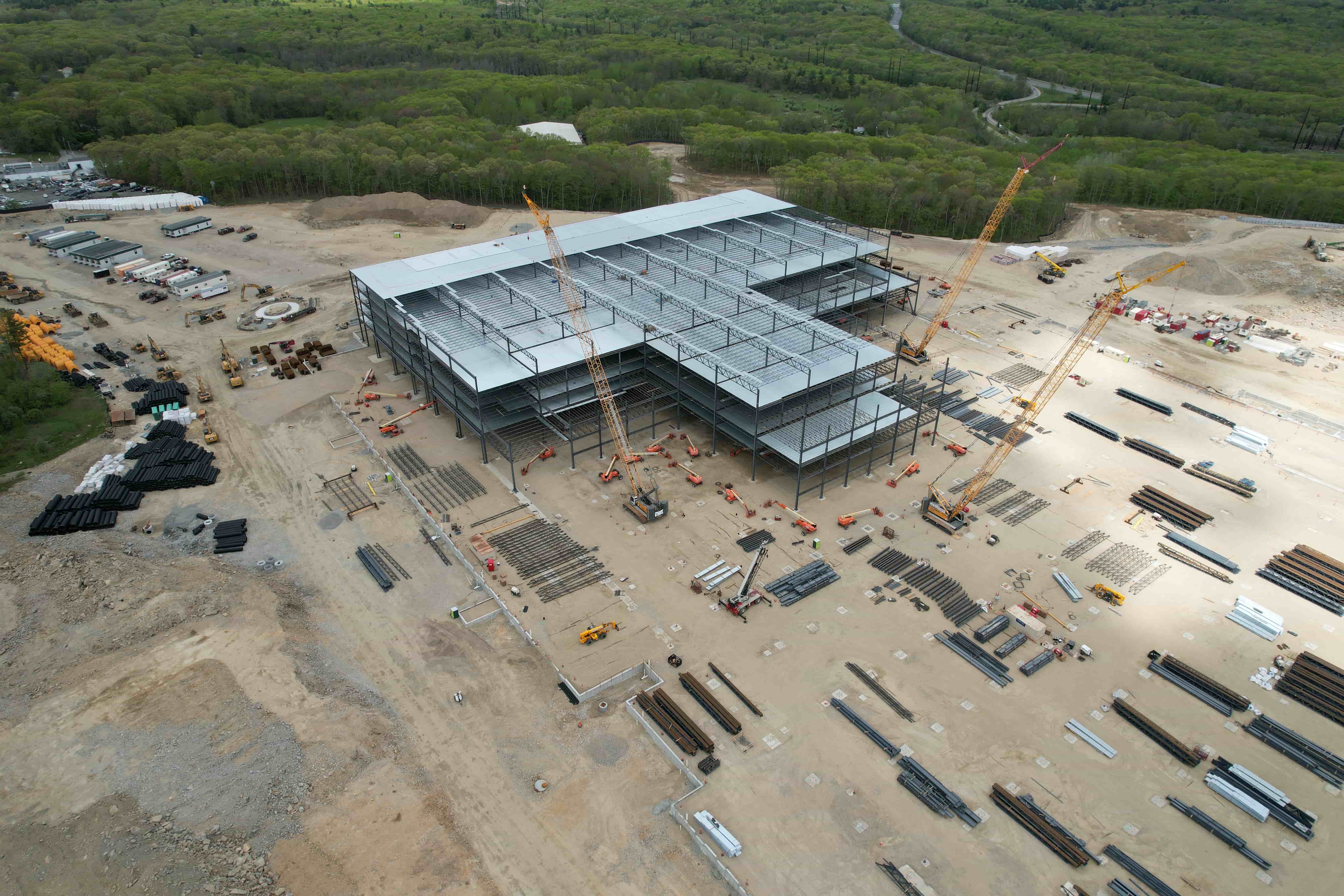
For repeat monitoring, the advantage is immediate. When a new flight lands, the new data sits alongside the previous survey. The map viewer can show both layers side by side, or overlay them to highlight changes. Vegetation growth, stockpile volume shifts, construction progress, or drainage changes become visible without anyone having to dig through folders or re-project coordinates.
How the workflow changes with a shared platform
To understand why this matters, it helps to walk through a typical monitoring cycle without hosted data. A pilot files a mission, processes the images, and delivers a final report and a set of files to the client. The client stores those files on a local network or an external drive. Months later, when the next survey is due, someone must locate the old files, check that the coordinate systems match, and manually align the new data with the old. Each step risks version confusion or data loss.
With an aerial data platform, the process is different. The pilot uploads processed deliverables directly to the platform after each flight. The platform timestamps the upload, georeferences it, and makes it available through the same map viewer used for every other survey. The client logs in, sees a timeline of all captures for that site, and can view any pair side by side. No file hunting, no coordinate mismatches, no accidental overwrites.
The key is that the platform does not just store files. It stores them in a way that preserves spatial context. An orthomosaic from March and an orthomosaic from October both know where on the earth they belong, so the viewer can align them automatically. That spatial awareness is what makes drone project visualization meaningful over time.
What repeat monitoring actually demands from data
Repeat site monitoring is not just about having two images. It is about being able to measure change reliably. That requires consistent processing, consistent georeferencing, and consistent access. Hosted drone data provides all three.
Consistent processing matters because different processing runs can produce slightly different orthomosaics, even from the same raw images. A good platform applies the same pipeline to every upload, so the deliverables are comparable. Consistent georeferencing means that every file aligns with the same coordinate system, so overlays match exactly. Consistent access means that the same person who viewed the first survey can view the fifth without re-requesting files or re-installing software.
For fields like construction monitoring, environmental assessment, or agricultural management, these consistencies are not luxuries. They are requirements. A project manager needs to know that the volume calculation from last month and the one from this month were made on the same basis. An ecologist needs to compare vegetation indices across seasons without worrying that the processing changed. A hosted platform removes those variables.
Features that make the difference in practice
Several concrete features of an aerial data platform directly support repeat monitoring. Understanding them helps in evaluating whether a platform will actually simplify long-term work.
Time series view. A time series groups all captures for a location by date. Instead of opening each file individually, the user scrolls through a timeline. The viewer updates to show the selected capture, and annotations or measurements made on one date can be carried forward or compared.
Side-by-side and overlay modes. Comparing two dates visually is the most intuitive way to spot change. The platform should allow the user to split the screen between two captures or overlay one on the other with adjustable transparency. This is where drone project visualization becomes a practical tool for daily decisions.
Annotation and markup persistence. If a user draws a polygon around a stockpile or marks a drainage issue in one survey, those annotations should remain available when the next survey is loaded. Persistent annotations save time and prevent rework.
Project report generation. A platform that can produce a project report combining multiple time points, measurements, and annotations from the hosted data makes communication with stakeholders simpler. The report can show exactly what changed between dates without requiring someone to assemble screenshots manually.
Shared access with permissions. Different team members need different levels of access. A project manager might need full editing rights, while a client only needs to view. Granular permissions keep data secure while allowing the right people to see the right information.
What to watch for when choosing a platform
Not all hosted drone data solutions are equal for repeat monitoring. Some are built primarily for single-flight delivery and treat multiple surveys as independent projects rather than a connected timeline. Others are designed with time series as a core feature.
Look for a platform that stores data in a way that preserves the relationship between flights. The ability to group captures by site and date, to apply the same processing parameters across flights, and to export comparisons without extra work are signs that the platform was built for monitoring, not just one-off delivery.
Also consider how the platform handles file formats. Common deliverables include orthomosaics, point clouds, and digital surface models. The platform should accept these formats directly and display them in the map viewer without requiring conversion. If the platform forces a proprietary format, that can lock data in and make long-term monitoring more difficult.

What repeat monitoring means for different use cases
The value of hosted drone data shows differently in different industries. In construction, weekly or monthly flights track earthwork progress, foundation placement, and building envelope completion. Having all flights in one platform lets the project manager compare planned vs. actual progress visually and share updates with the owner or lender.
In environmental monitoring, seasonal flights over wetlands, revegetation sites, or erosion-prone areas generate data sets that need to be compared across years. A hosted platform keeps those data sets organized and accessible, even as personnel changes over time. The ecologist who starts a project may not be the one who finishes it; a shared platform ensures continuity.
In agriculture, multiple flights during a growing season capture crop health changes. Comparing normalized difference vegetation index (NDVI) layers across dates reveals where irrigation, fertilization, or pest management is needed. Hosted data makes those comparisons immediate rather than requiring a desktop GIS session.
The practical bottom line
Repeat site monitoring with drone data is simpler when the data lives in one place, processed consistently, and accessible through a viewer that understands time. An aerial data platform that provides hosted drone data removes the friction of file management, coordinate alignment, and version control. It turns a collection of individual flights into a coherent record of change.
For drone pilots, using such a platform can make repeat work more attractive to clients because the delivery is not just a set of files but a living record that grows with each flight. For clients, the platform reduces the overhead of managing data from multiple surveys. Both sides benefit from the clarity that comes when every flight connects to the one before.